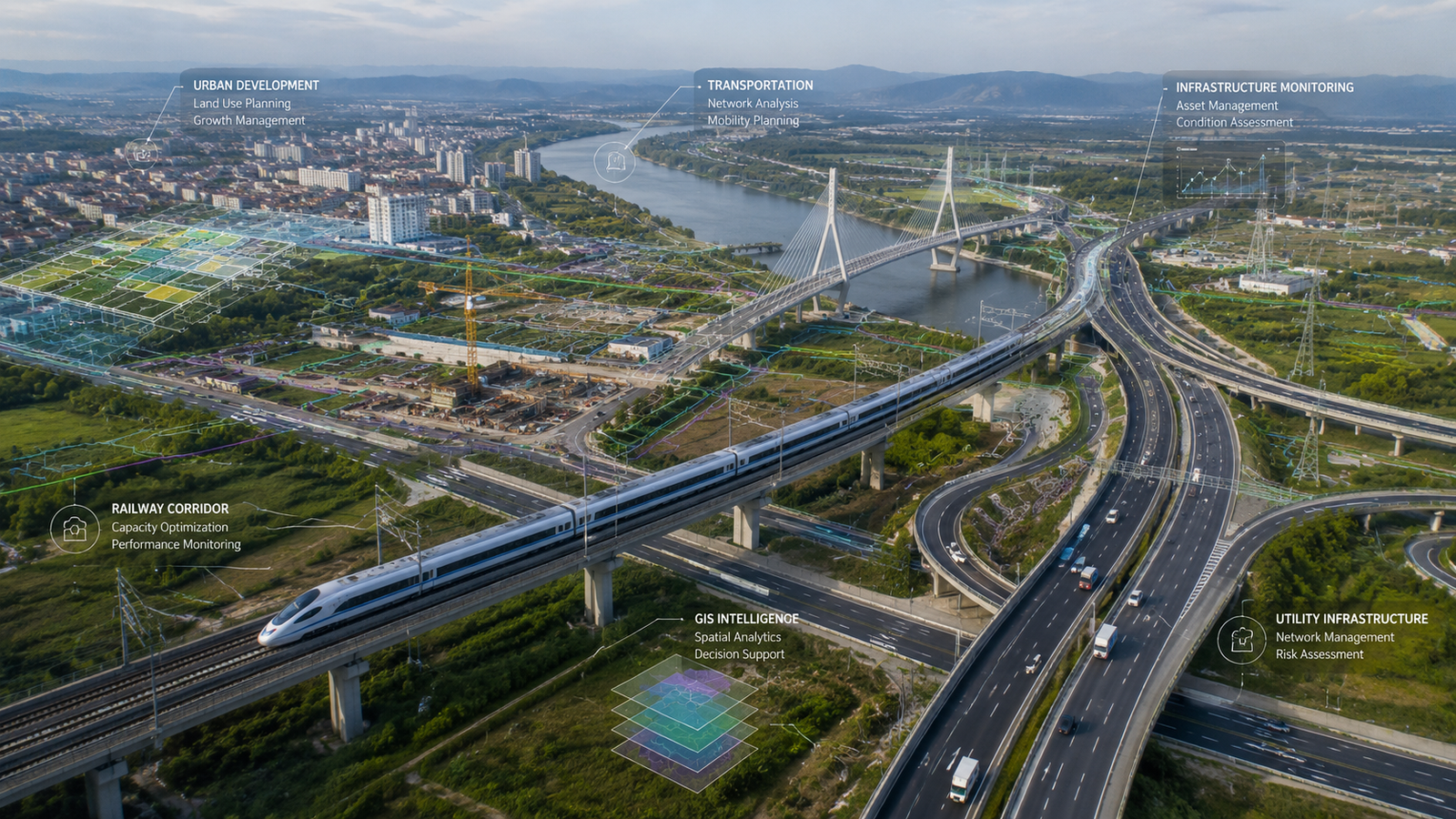
Selected Experience
A selection of geospatial, infrastructure, monitoring, GIS, and remote sensing experience across engineering and development projects.
Surveying & Geomatics
High-accuracy surveying and spatial data acquisition for engineering, infrastructure, and development projects.
Examples
Topographic Surveys
Engineering Surveys
GNSS Control Networks
Construction Support Surveys
Geodetic Applications
GIS Projects
Development of GIS databases, spatial analysis systems, mapping solutions, and decision-support tools.
Examples
Spatial Databases
Web GIS Applications
Asset Management Systems
Mapping Projects
Spatial Intelligence Solutions
Infrastructure Monitoring
Monitoring and assessment of infrastructure performance using geospatial technologies and advanced analysis methods.
Examples
Structural Monitoring
Deformation Assessment
Ground Movement Analysis
Infrastructure Risk Assessment
Transportation Projects
Geospatial support for transportation planning, surveying, monitoring, and infrastructure management.
Examples
Highway Projects
Transportation Corridors
Route Analysis
Infrastructure Surveys
Remote Sensing & InSAR
Satellite-based monitoring and remote sensing applications for engineering, environmental, and infrastructure projects.
Examples
InSAR Monitoring
Land Deformation Analysis
Environmental Monitoring
Change Detection
Regional Assessments
AI-Powered Geospatial Applications
Application of machine learning and artificial intelligence to automate geospatial workflows and improve analytical capabilities.
Examples
Automated Feature Extraction
Spatial Classification
Predictive Analytics
Geospatial AI Solutions
Representative Experience
Selected Projects
Representative experience across transportation, surveying, GIS, infrastructure monitoring, utilities, and remote sensing projects.
InSAR Monitoring for Power Transmission Corridors
Development of remote sensing and AI-based methods for monitoring vegetation encroachment and estimating tree heights near power transmission corridors using satellite data and geospatial analytics.
New Mansoura City – Phase II Surveying Works
Comprehensive cadastral and topographic surveying with control network establishment for approximately 1,200 feddans within the second development phase of New Mansoura City.
GIS-Based Infrastructure Data Management
Development and management of GIS databases supporting infrastructure facilities and structural assets in Drunka and Deir Drunka villages.
Gamasa Industrial Zone Survey
Full cadastral and topographic survey with control stations covering approximately 108 feddans within the industrial development zone.
Abo Sultan Agricultural Corridor Roads
Topographic surveying for approximately 190 km of service roads supporting agricultural development corridors.
Luxor – Edfu – Marsa Alam Highway Survey
Comprehensive topographic and cadastral surveying with control networks for approximately 131.5 km of highway corridor.
Transportation GIS Database Development
GIS data management and spatial database development supporting transportation planning and mobility studies.
Gharbia Sanitary Drainage Program
Surveying and control network establishment for wastewater infrastructure projects covering approximately 1,000 feddans.
Dakahlia Sanitary Drainage Program
Topographic and cadastral surveying supporting wastewater infrastructure development across approximately 2,000 feddans.
Giza Sanitary Drainage Program
Surveying and geospatial support for wastewater infrastructure projects covering approximately 1,800 feddans.
Minya & Assiut Rural Infrastructure Survey
Comprehensive surveying works supporting rural sanitation infrastructure projects covering approximately 2,500 feddans.
Mediterranean Coastal Deformation Forecasting Initiative
Development of a forecasted surface velocity database for cities along the southern Mediterranean coast to assess future coastal displacement impacts.
Why Experience Matters
Successful geospatial consulting requires more than technology. It requires engineering understanding, practical project experience, and the ability to transform spatial data into actionable decisions.
Learn from Our Insights
Explore articles, technical perspectives, and industry knowledge related to geospatial technologies and infrastructure intelligence.
View Insights