Who We Support
We work with engineering consultants, government agencies, infrastructure owners, utility operators, transportation authorities, and contractors to deliver geospatial solutions that improve planning, construction, monitoring, and asset management.
Government Agencies
Engineering Consultants
Infrastructure Owners
Transportation Authorities
Utility Operators
Contractors
Core Expertise
Surveying & Geomatics
High-accuracy surveying solutions using GNSS, topographic surveys, engineering surveys, and spatial data acquisition.
GIS & Spatial Intelligence
Transforming geospatial data into actionable intelligence for planning, analysis, asset management, and decision support.
Remote Sensing
Satellite and aerial data analysis for environmental monitoring, land use assessment, and infrastructure applications.
Infrastructure Monitoring
Advanced monitoring of deformation, movement, and structural behavior using geospatial technologies.
LiDAR & 3D Mapping
Accurate three-dimensional data capture for engineering, infrastructure, and digital twin applications.
AI-Powered Geospatial Solutions
Machine learning and artificial intelligence solutions for automated geospatial analysis and predictive insights.
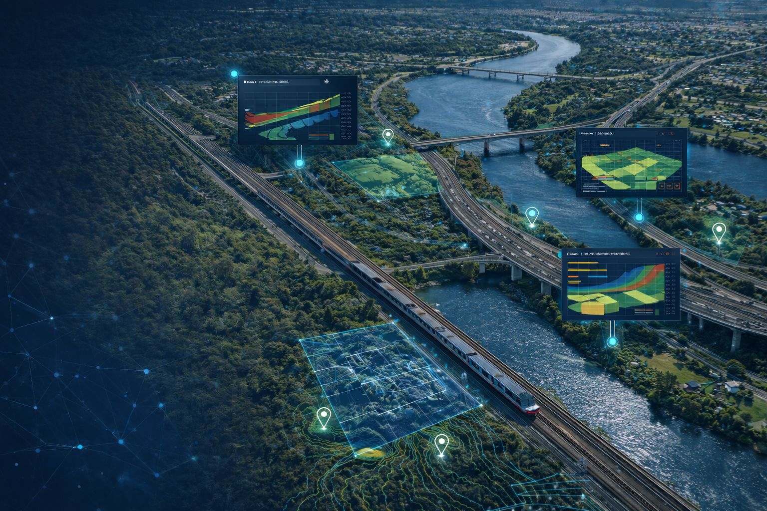
Transportation Infrastructure Intelligence
Supporting railway and highway projects through corridor mapping, spatial analysis, infrastructure monitoring, remote sensing, and asset intelligence solutions.
Railway Corridor Mapping
Highway Asset Intelligence
Infrastructure Monitoring
GIS for Transportation Planning
Satellite-Based Monitoring
Decision Support Systems
Railway Corridor Mapping
Highway Asset Intelligence
Infrastructure Monitoring
GIS for Transportation Planning
Satellite-Based Monitoring
Decision Support Systems
Why ElGharbawi Geospatial Consulting
20+ Years of Engineering Experience
Academic and Practical Expertise
Advanced Geospatial Technologies
Infrastructure-Oriented Solutions
AI-Powered Analytics
Commitment to Accuracy and Reliability
Leadership
Prof. Tamer ElGharbawi
Founder & Principal Consultant
PhD in Civil and Earth Resources Engineering
Consultant Engineering Egyptian Syndicate of Engineers
With over 20 years of combined academic and industry experience, Prof. ElGharbawi leads the firm's technical direction across surveying, GIS, remote sensing, InSAR monitoring, and AI-powered geospatial analytics, ensuring every project benefits from PhD-level technical oversight.
Geographic Reach
Egypt-Based. Regionally Capable. Field services are delivered across Egypt, while remote sensing, GIS, infrastructure monitoring, and geospatial consulting extend to the Gulf region and internationally.
Frequently Asked Questions
Ready to Discuss Your Project?
Explore how geospatial intelligence can support your infrastructure, transportation, utility, or development project.
Request Consultation