Vision
To be a trusted geospatial engineering reference for infrastructure and development projects in Egypt, the MENA region, and internationally.
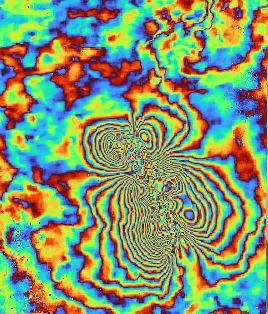
ElGharbawi Geospatial Consulting is a specialized engineering consultancy providing advanced GIS analysis, topographic surveying, and remote sensing services for infrastructure, planning, and environmental projects.
We operate at the intersection of engineering science and geospatial intelligence — applying rigorous methodology and modern analytical techniques to support evidence-based decision-making in complex projects.
To be a trusted geospatial engineering reference for infrastructure and development projects in Egypt, the MENA region, and internationally.
To deliver accurate, scientifically validated geospatial solutions that support engineering decisions — through disciplined methodology, advanced data analysis, and applied research.
Founder name (TBD)
Founder & Technical Director
An engineer and researcher specializing in civil and geotechnical engineering, GIS, and remote sensing. Background combines academic research with applied engineering experience in geospatial analysis and infrastructure assessment across Egypt and the MENA region.
Established with a local focus in Egypt, the firm has a structured plan for regional expansion across the MENA market and progressive engagement with international engineering and research partnerships.
Work With Us